City Prints Map Art
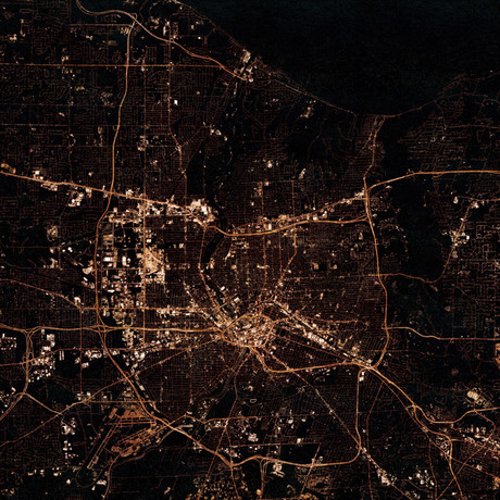
Rochester, NY at Night
Product Description
Few things are as atmospheric and enthralling as glowing city lights, especially from high above the ground. But there’s a problem — buying a satellite - or even a plane ticket - in order to take the see them is expensive, and the ISS stopped returning our calls.
Instead, this collection of dazzling art prints uses real maps and building data to create computer-generated images of real cities at night, from above. The artistic flair not only makes them unique, it also makes them even more attractive, detailed, and vibrant than a regular old Google Earth pic. You're welcome.
Product Details
- ColorsMulti
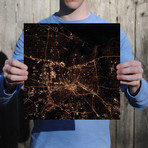
- Measurements
12"W x 12"H
- OriginUnited States
— Artistic, Composite Image Based On Real Satellite Images And Map Data
— Printed On High-Quality 105# Stardream Pearlescent Heavy Paper Stock
FAQ
We created these from map data (layers of roads and building) to allow us to create images that are clearer and more detailed than actual satellite imagery.
Shipping Information
-
Shipping AvailabilityUnited States
-
Shipping PolicyStandard Ground Shipping
-
Ship In2-3 weeks ⓘ
-
Return PolicyFinal sale, not eligible for return or cancellation


